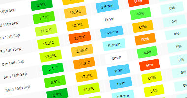
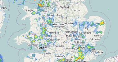
Check your local storm risk forecast by entering your city, town or postcode into the box below.
Storm Forecast For
| Time |
|---|
| Temp | Humidity | Dewpoint | Cape | Precip | Convective Cloud | Storm Risk |
|---|---|---|---|---|---|---|
Local Information For City of London
Moon:


Sunrise:
Sunset:
Sunset:
Storm Forecast Info
You may not be familiar with a couple of the items within the storm forecast, the first one CAPE is a measure of the available energy in the atmosphere for convection (storms and showers), just because this level is high though, it doesn't guarantee that conditions will be right for storms. CAPE is an abbreviation of Convective Available Potential Energy and is measured in joules per kilogram.Another term is Lifted Index, this is a measure of the buouyancy in the air. Negative numbers mean the air is buoyant so will rise, positive numbers inicate sinking air. The more buoyant the air is, the better chance there is that the CAPE can be tapped in to.


